
The Way of the Cross hike (on the southern slopes of Michiru Forest Reserve) is a short day outing near Blantyre/Limbe, in Southern Malawi. I provide details that include maps, logistics (check onto YOURURL.com site foe the best services) and links to additional details and GPS data. This is a self-guided adventure on a shoestring. Follow the links to dig deeper into the adventure.

This is a very comfortable and spiritual hike at the southern end of the Michiru range. It has both a very well groomed trail (with the stations of the cross), a double-track and a good trail. The entire loop that I have mapped out takes around two hours, covers 5.10km, gains 278m elevation and combines a forest trail hike, a plateau track hike, culminates at the summit cement cross and then descends on the well groomed (stone path with the stations of the cross) back to the starting point.
Way of the Cross Hike Trailhead
The starting point is in the Chilomani township near the Zambizi church (see my gps file for waypoints for your phone). Once near the church you will see large yellow signs that indicate “Way of the Cross” in yellow. Follow them up a narrow dirt road (with two stone tracks) until a sharp left then right turn onto a dirt road (garbage dump at the junction). This dirt road leads up to a Forestry Office and parking area.
Next to the office two trails are clearly sign posted. The right is the Way of the Cross and the left is the “Way of the Rosary”. The first leads up to the cross monument and the left loops up and then west back down to the Chilomani township.
Way of the Cross Hike Route
 We started on the left “way of the rosary” track but then cut right to leave the Rosary trail and start on a different trail that lead up to another forestry office, at which point we entered a steep but easy climb in an old forest area to a new tree farm area. Note that this is not the groomed trail with the stations of the cross. The trail then joined a well used dirt track that continued gently uphill to crest the upper left side of the summit. The track continues north-by-northwest once past the summit but there is an fork with an old (overgrown in places) faint track to the right that circles the summit and heads back towards the cement cross at the eastern peak. The track emerges a short distance below the cross monument onto the stone path (second to last station of the cross).
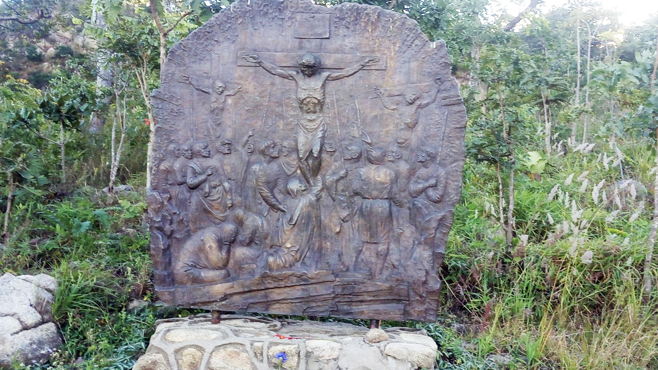
Head up approximately 50m to reach the cross monument. To return to the starting forestry office spot, we descended the obvious well groomed stone path with the stations of the cross.
I highly recommend this area for comfortable day walks with outstanding views. You could easy extend this walk in many directions once on the upper plateau.
Note that the Chris Dodd route-03-way-of-the-cross pdf is out of date and that the trail to the NW summit is long gone. I tried to find it and spent a lot of time in high grass and shrubs. The peak is completely overgrown with shrubs and inaccessible. The good news is that new small trees have been planed in the area and if all goes well there will be trees here in 25-35 years.
GPS Data
Download the way-of-the-cross gpx file and load it into your phone’s Google maps or a phone GPS app such as Locus. Then you will have a track on your phone that you can follow when confused. In the zip files I include additional meta data.
Visit Malawi Outdoors on a Shoestring for more adventures
