
 Phone App
Note that I use Locus app software for all my GPS phone functions.
Route Topo Map
Click sapitwa_map zip to download a section of the Mountain Club of Malawi topo map that covers the Sapitwa Summit trek.
Mount Mulanje is a hiking and trekking area in a high mountain region of southern Malawi consisting of rocky peaks, high grasslands, deep gorges and fast moving rivers (with swimming holes and waterfalls). The hikes or treks broken down as day hikes or multi-day hikes. The Hiking Guide of Mount Mulanje, by Drew Corbyn is a must (around US$ 10 or less locally). I will borrow from the guide as little as possible and try to supplement it with my experiences, maps and facts.
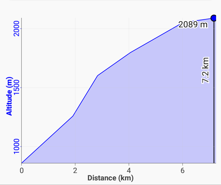
Saptiwa Summit Details
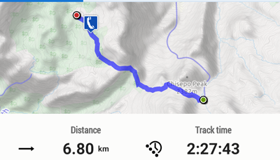
(two sections to Chisepo Hut)


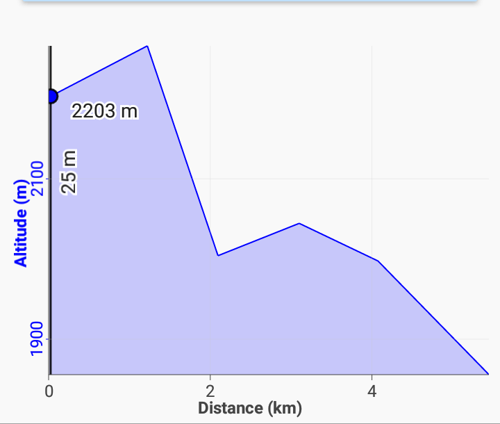
Chisepo Hut to Summit then to Chambe Hut


Return to Likhubula Gate


Download the Sapitwa gpx files with routes and waypoint data for your phone or GPS unit. Note that these are for planning only. Use a guide and keep your nose out of your phone while trekking.
Back to Summit Sapitwa for the summit post.
See Mulanje Maps & Facts for details about Lodging, fees, MCM membership and more.
See Trekking & Hiking in Malawi for the More Adventures.
