


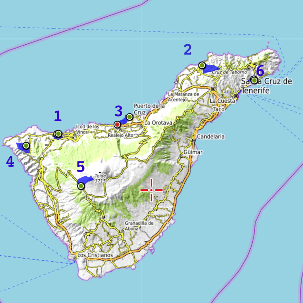
This blog is about our impulse trip to the Canary Islands (specifically Tenerife Island) in May for a week of outdoor activities (trekking or hiking primarily). In summary trekking Tenerife involved 6 days (outside of the arrival and departure days). Obviously my first objective was to summit the volcano Teide (at 3715m, the highest point in Spain). But I also wanted to do a number of day hikes in different parts of the island given its different terrain and microclimates.
Canary Islands


Total Cost Range of all Activites is: Free
Free, (The Pico del Teide summit has a small permit fee, others permits were free).
In summary I should have planned a bit better since it turns out that the summit of Teide is heavily regulated with limited permits, but even that was manageable with a bit of administration that I had to figure out without the help of the local tourist office. I also put together daily hikes on the fly that were both good and challenging. I will focus on the Good parts in this blog (the treks). I will address the Bad and Ugly parts (the scams, tourist traps and post trip surprise bills) in my Maps & Facts page.
The Good Part of Trekking in Tenerife
Using the Trekking Community app, the Internet and a paper map available at the tourist office I was able to come up with an outing each day. Note that I use the word “hike” instead of “trek” because these were single-day trips and not multi-day trips.
On the flight we met Cedric and Roza who happened to also be staying in Puerto de la Cruz so they jointed us on the first two days before starting Spanish language school.
The Activities
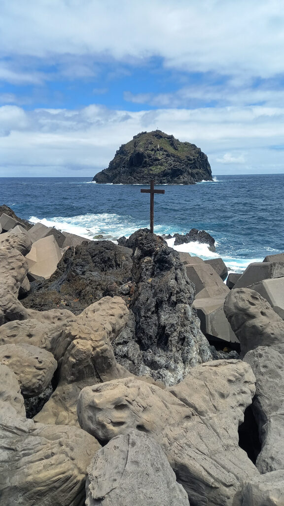
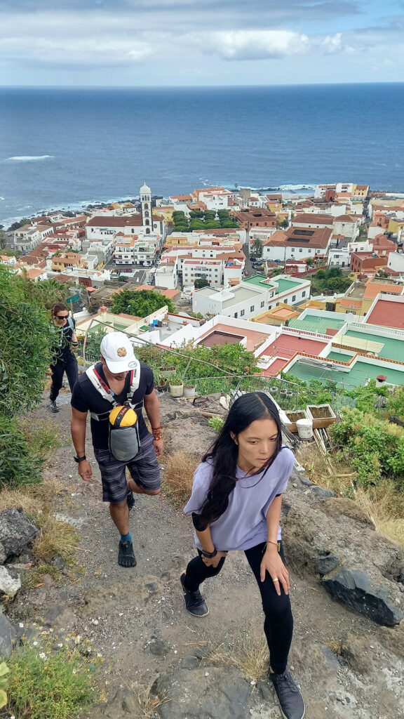
Hike 1 Garacgico Loop

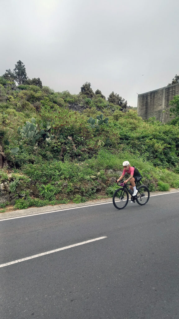
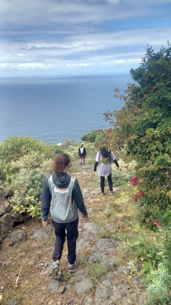
At the top we were surprised to find a difficult bicycle road race in progress. We also found that the only restaurant was closed to the public due to a local event. So we sat on the cliff to rest, ate our packed lunch and watched the bicyclists struggling up the steep winding road from San Pedro de Daute village on the coast (our next objective).
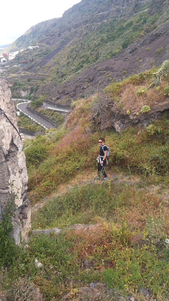
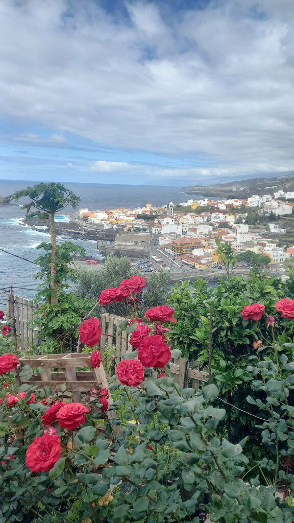
After lunch we wound our way back down to the seaside following short stretches of stairs/trails cutting corners off the winding road down. At the village we returned to Garachico following the coastal road.
It was a pleasant 8 km loop hike that took us around 3.5 hours and required an elevation gain and loss of 636m. See Maps & Facts for details and GPX track files.
Hike 2 Bajamar Loop

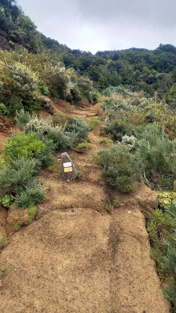
About an hour into the hike the trail began a steep winding single track up at the conclusion of the gorge. We stopped for frequent breaks, and I kept promising that we were almost at the top.
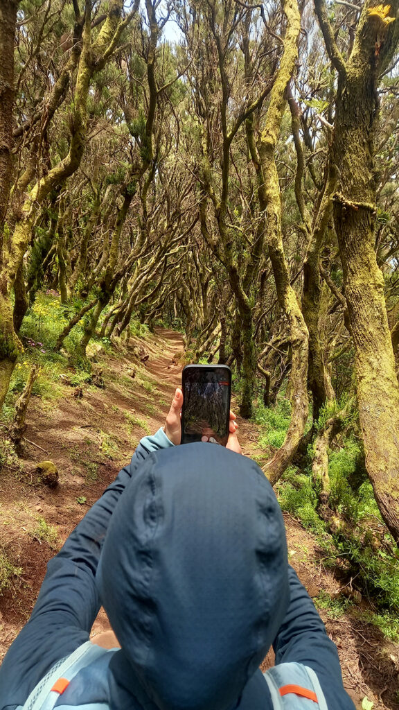
After many false summits we reached the ridgeline at a collection of a few remote farmhouses and a cell tower. At this stage we took a shortcut east just below the ridge line in hopes of cutting the loop by a few km. The trail followed a well-groomed service road through an enchanted forest until it reached the merger of two mountains. The trail then jack-knifed back west but on the opposite side of the valley and out of the forest and into a strange semi-arid landscape of reforestation.
This time the descent was gradual along the southern side of the valley and lower gorge that we had previously ascended. Unfortunately, my short cut wasn’t that short, and the trail turned south into an adjoining valley that we needed to skirt before heading back to our original direction for an additional hour of descent.
All in all, it was an excellent 15 km hike that took us 6 hours and 885 m of elevation gain and loss. See Maps & Facts for details and GPX track files.
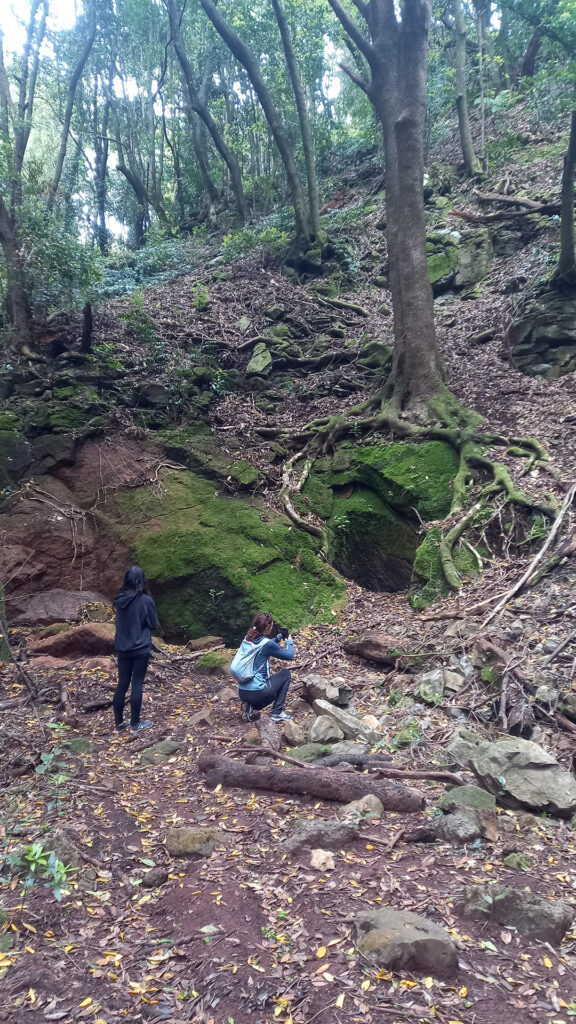
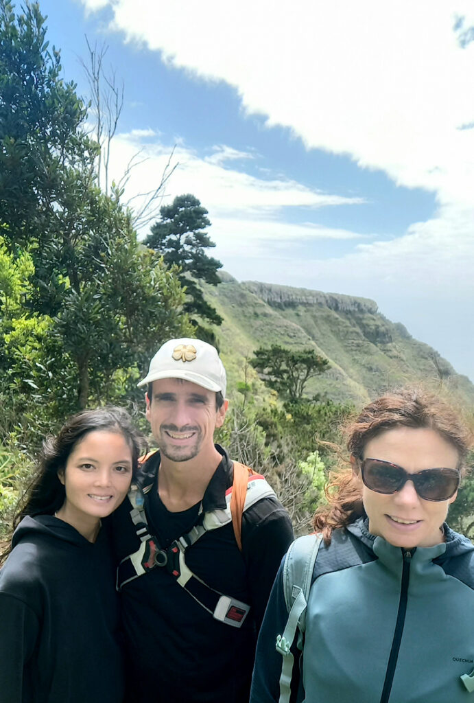
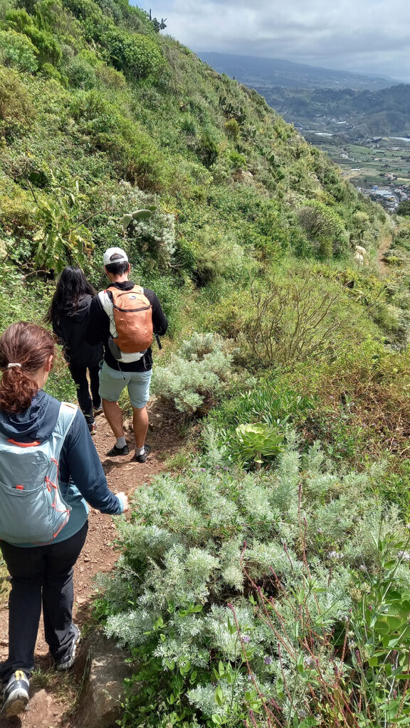
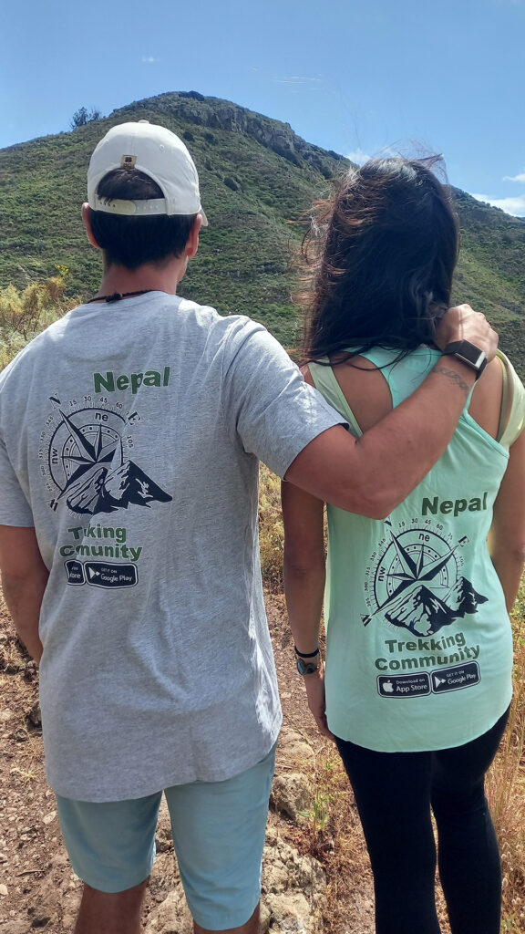
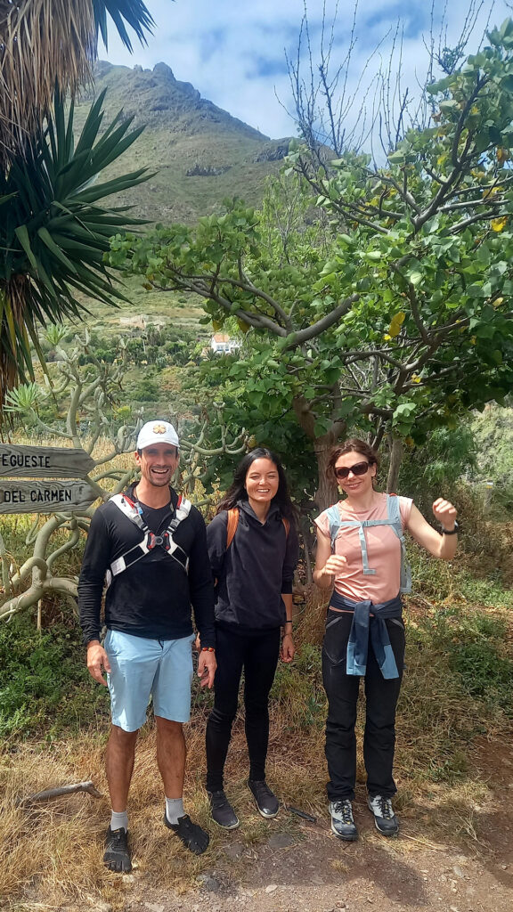
Stroll 3 Punta Brava – San Vicente

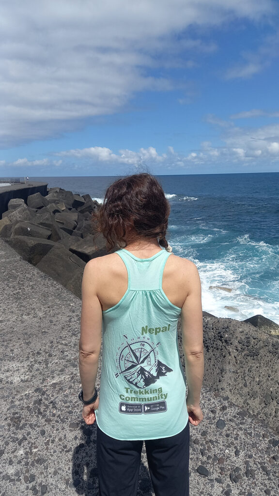
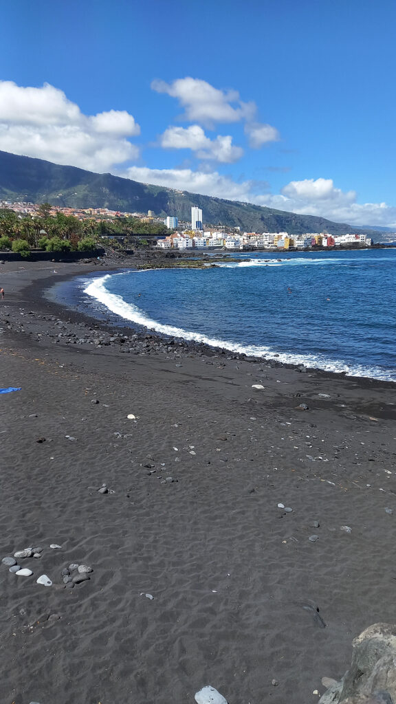
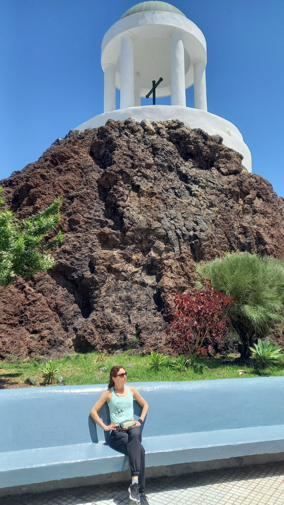
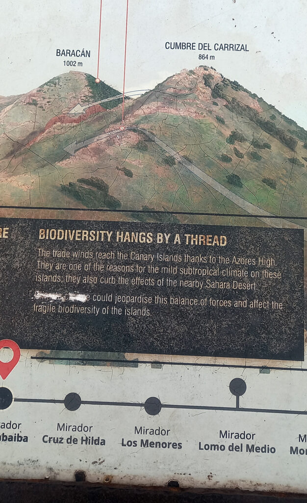
Hike 4 Callejon de Teno – Cumbre de Baracan
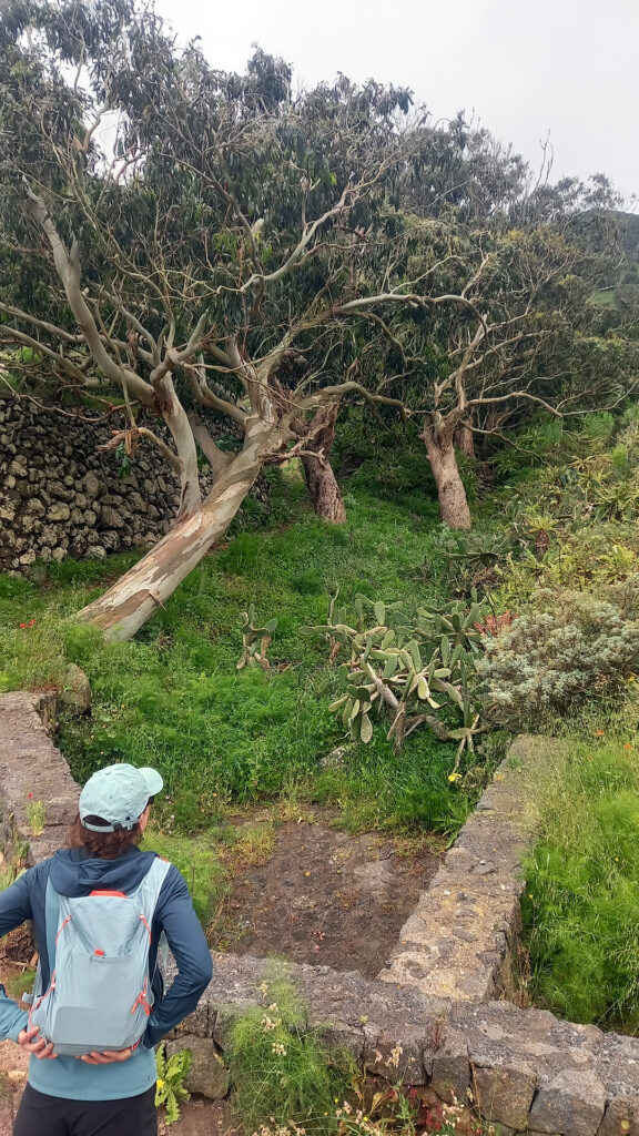
When we merged onto the trail west of Las Portelas we started a winding hike uphill on mostly farm tracks until the last stretch below the ridge-line.
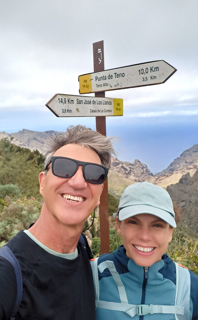
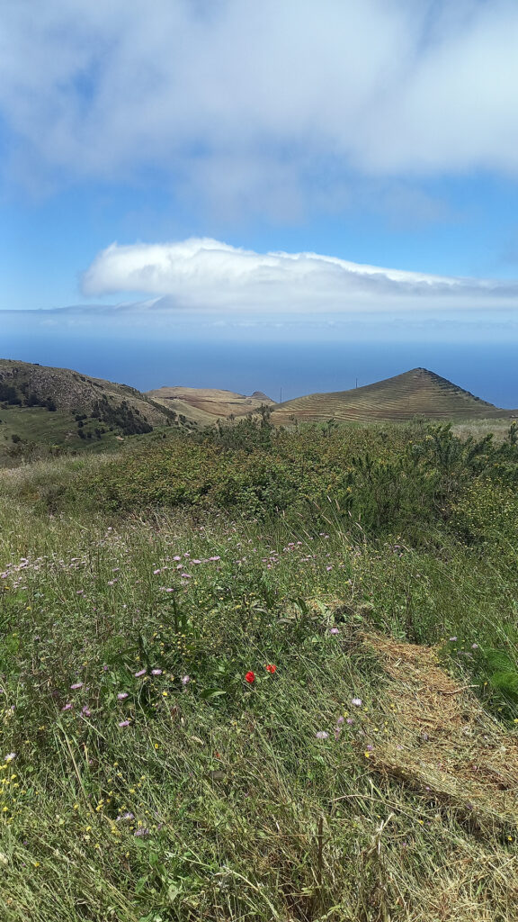
At the ridgeline we emerged at a road lookout with lots of tourists taking pictures across the ridge at the two extremes of habitat and weather. We took a few pictures too then started to follow a single-track trail back east just below the ridge, but on the north side of the range this time.
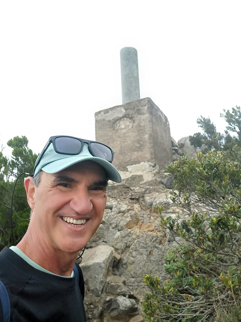
We detoured off the main track to hike up to the summit marker of Mt Baracan at 1002m then returned to the windy trail to continue east until we entered an amazing forest before Las Siete.
From Las Siete we followed the winding road north into the village of Temo Alto and then roads and mixed trails, frosts and farms in an eastward direction parallel to our prior 2 hours of hiking, but this time on the northern side of the mountain range, valley hopping until we reached our starting valley.
A sharp winding trail took us back to our car and the completion of a 10.5 km hike that took us 4.30 hours and a gain/loss of 712m.
See Maps & Facts for details and GPX track files.
Hike 5 Pico Viejo (below volcano Pico del Teide)

I also discuss logistics & permits for Pico del Teide in detail within the Pico del Teide page.
Outing 6 San Andres Caves Loop or The Beach
Naturally I opted for the 3.8km, 2hr hike with an attitude gain of 244m. See Maps & Facts for details and GPX track files.
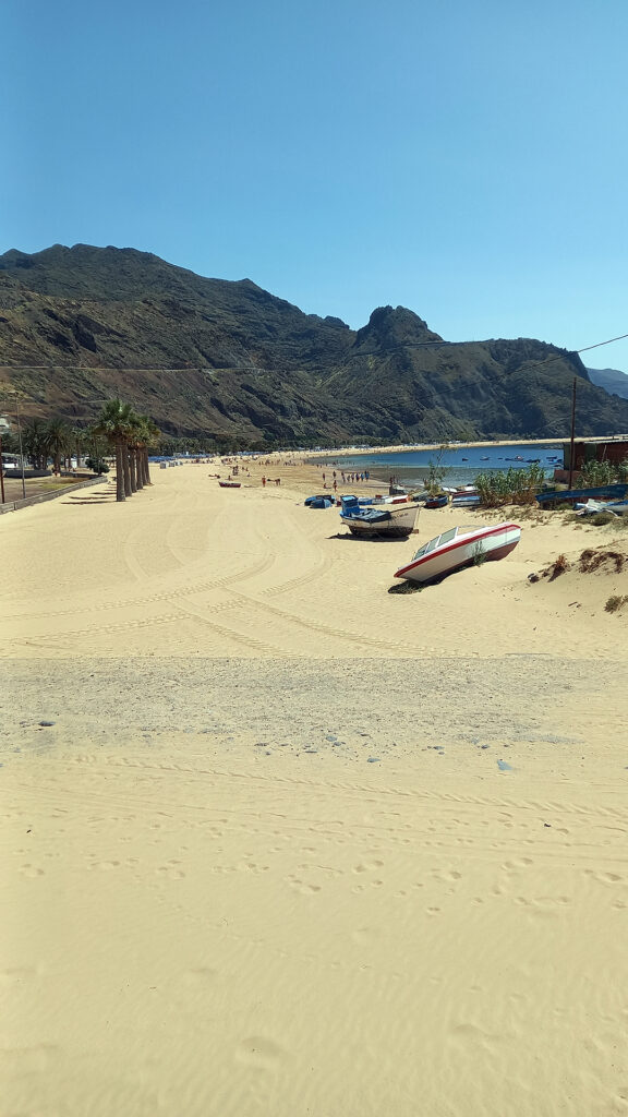
And naturally, Cristina vetoed my idea and opted for relaxing on a golden sand beach.
Watch The Video

Conclusion
The following day we departed Tenerife with mixed feelings. There are so many more places to trek (including the summit of Pico del Teide) but at the same time my overall flavor of the island is that it is too aggressively reaching into visitor wallets.
See Maps & Facts for my lessons and warnings.
GPS Track
Download the GPX tracks from GPS tracks page.