


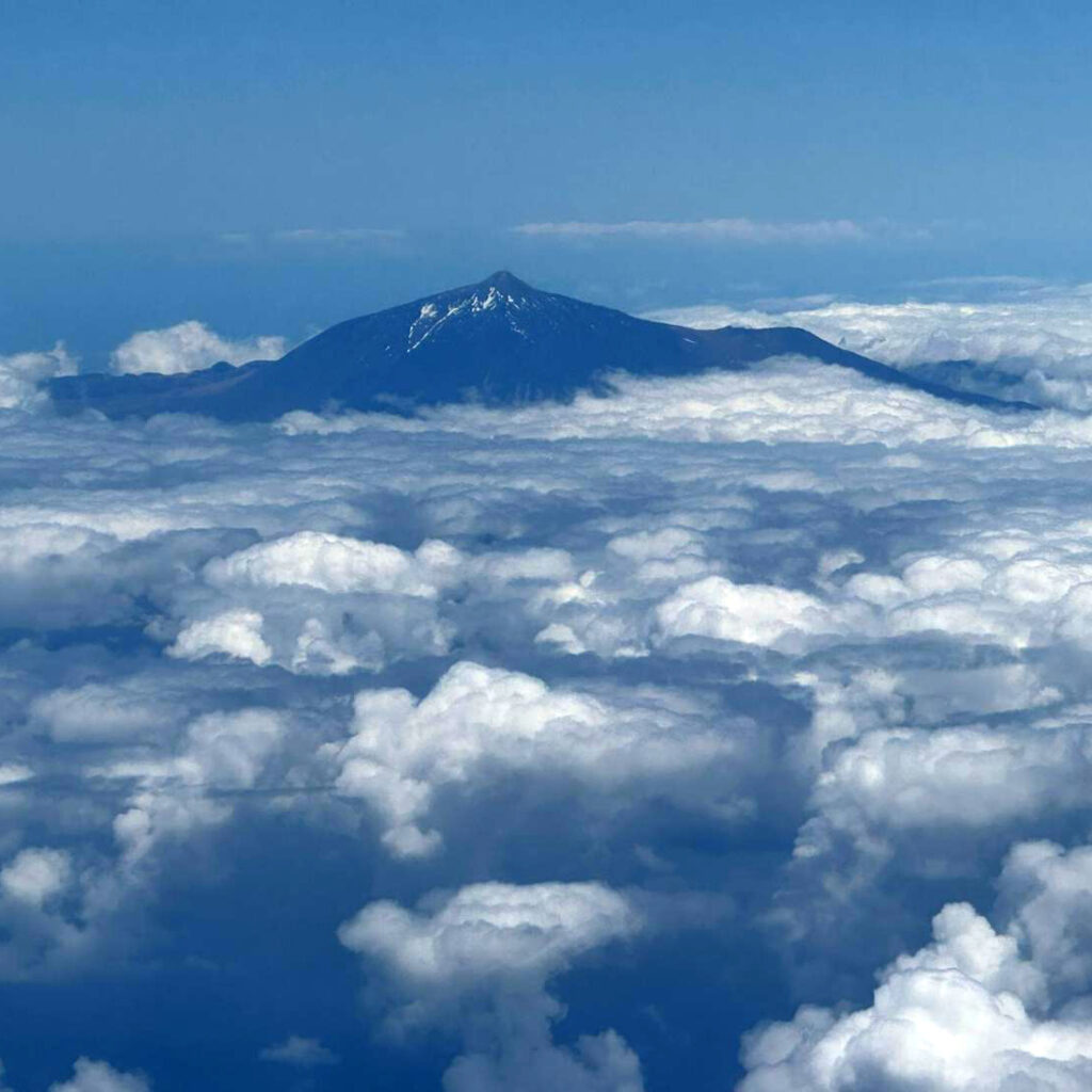
Trek Volcano Pico Viejo Caldera is a long and exhausting 7.30 hour, 13km loop hike with a gain of 1,117m to the second Caldera from the western side of the volcano. A volcano caldera is a massive, cauldron-like depression that forms when a volcano’s magma chamber empties during a catastrophic eruption, causing the ground above to collapse.
We had obtained a 24-hour permit to trek the western side of the volcano along PNT 09 which runs from a car park on the TF-38 roadway and up to a spot just west of the chair lift lookout below the summit. Note that the trail from the top of PNT 09 that runs over to the chair lift lookout is T-2. From the lookout up to the summit (a 300m rise) is trail PNT-10 and it requires a different/additional permit. See Maps & Facts for details and GPX track files.


Total Cost Range of this Activity is: Free
Free, free and free (I did get a permit for PNT 09 route but even though it showed a price I was not charged).
We started the hike at 12.15 from the car park at 2086m along a groomed trail parallel to the road, heading north through a lava field with gentle undulations and turns. About 1km on we turned northeast towards the summit. This section was a narrower groomed trail that wound its way over and along desert landscape and rises with no shade or features. Just rocks and the occasional parched shrub.
Around 2540m the trail cut sharply to the right and then up to the cut between four small, connected volcano caldera called Narices del Teide. From this stage the trail became very steep and sandy. Try walking up a 500m black sand dune at altitude.
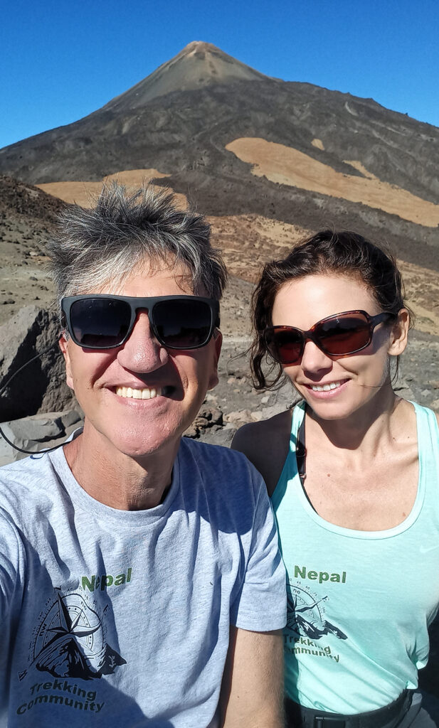
Our objective was the large caldera next to Pico Viejo. It was hot and thirsty work. We reached it at 4.45 where we rested, ate snacks and took photos while I contemplated our return route. It had taken us 4.30 hours to reach the spot with an altitude gain of 1,117m. I did not relish taking the same route all the way back.
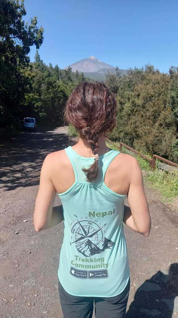
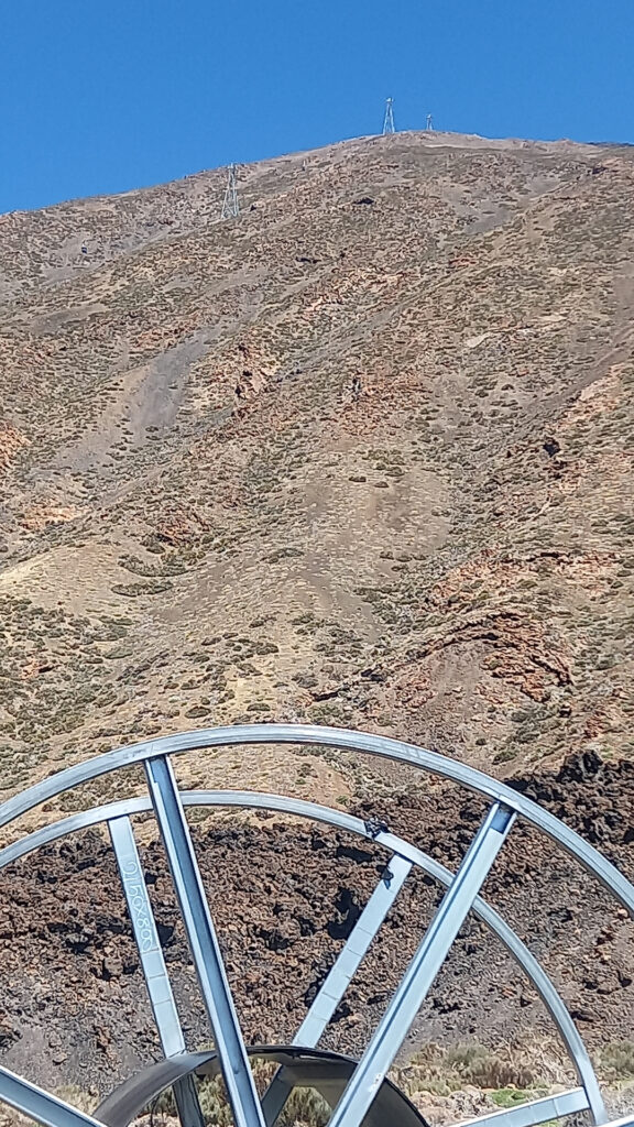
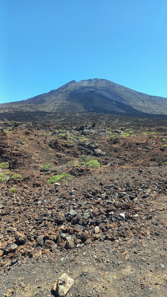
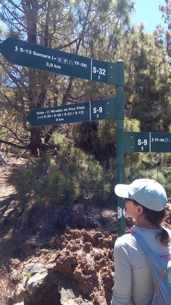
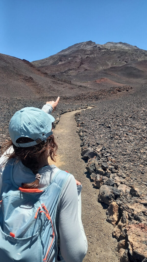
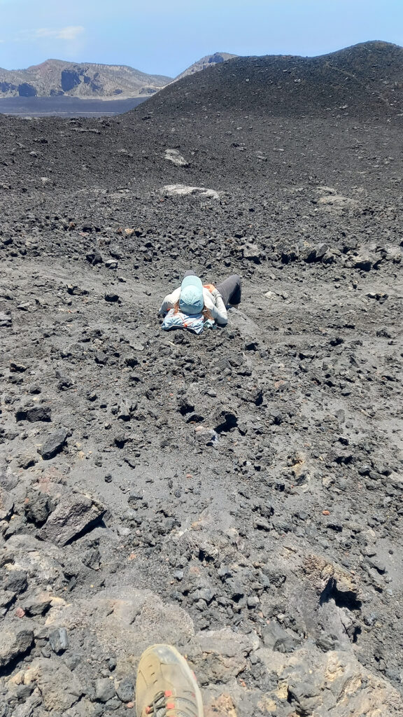
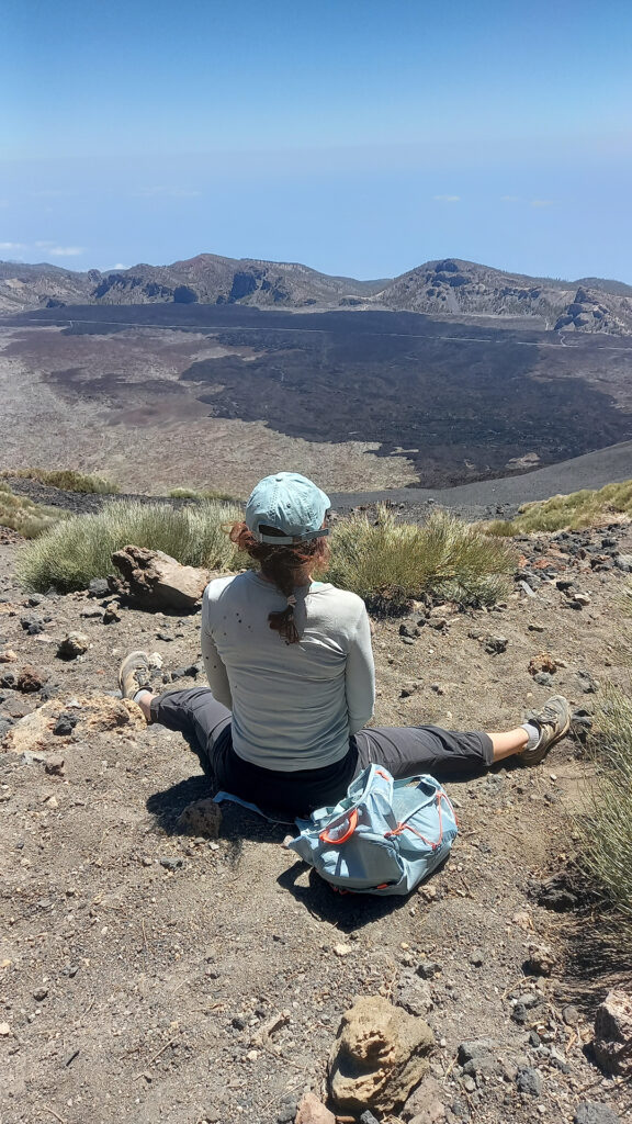
We started the return back along the same trail we used to ascend at 5.15. We followed the trail back to the Narices del Teide caldera and at this point I made the fateful decision to take a short cut along the side to the caldera.
We left the marked trail and crossed a chain barricade to a foot trail that ran down the side of Monta Chahorra. We started a running/sliding steep descent down the slope in black volcanic sand. We had done this type of descent on Etna, in Italy, in the past so knew it was an effective way to make speed.
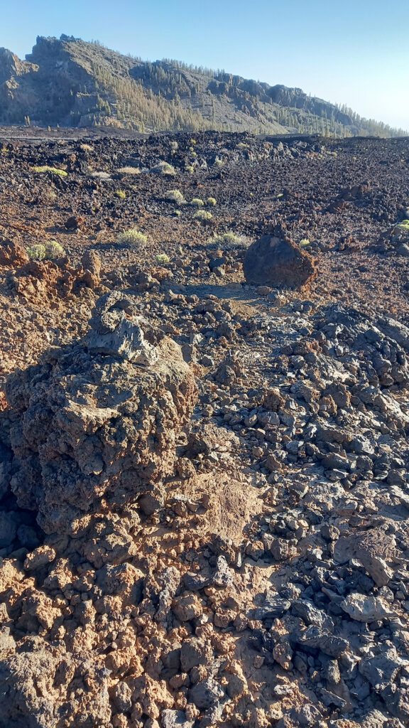
However, I also knew from my app that this trail would eventually end at a lava field. At the bottom of the mountain we followed a seldom used footpath to a large black lava labyrinth with sharp edges, deep fishers and general chaos. We only needed to cross about 200 m of flow to get to the other side where another old foot path was supposed to be.
Watch The Video

We zig-zagged our way across carefully (shredding my trekking boots in the process) and did eventually find the old foot trail on the other side. However, it was no longer visible, so I relied on very occasional rock cairns leading towards the distant car park.
The End in Sight
By 7.45 pm we finally made it back to the car. The ascent had taken 4.5 hours and the descent 2.5 hours but in truth my short-cut was way too much work for the few km I cut. I recommend that people use the groomed PNT 09 trail for the return. I will if I do this trek again.
Short Discussion about Pico del Teide
You should take the chair lift up to the lookout to the start of PNT 10 trail. You should not consider walking up to the lookout.
You need Trail PNT 10 permit to get to the summit from the top of the chair lift (the lookout) which is 300m in elevation gain. The permit is for a specific day and time slot.
You can take the chair lift back down to the parking area or use one of 3 trails; PNT 07, PNT 09 (with a short-cut on S-28) or PNT 41 (which leads north to the coast).
These trails require a permit which is for a specific day (24 hours).
If you walk down via PNT 07 or PNT 09/S-28 you need to walk back to the chair lift parking area if you drove. You can also arrange a taxi.
Read the Maps & Facts page for more details.
Visit the Trekking Tenerife other activities blog post.
GPS Track
Download the GPX tracks from GPS tracks page.