The Tuscany, Siena to Florence day ride (via Chianti) is part of my train-ride-train adventure series. Yes, all regional trains in Italy have free bike spots and some even have charging ports for electric bikes. The method is simple. I take a train (with my bike) to an exotic location, ride all day, then take a train back to my home base.
Crazy concept or not, it has opened all kinds of local riding opportunities in Italy (and I guess any country with good bicycle public transport).
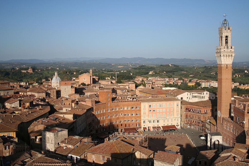
On this day’s ride I jumped on an early morning train to Siena (a really old town first inhabited in 900–400 BC by the Etruscans.
Total Cost Range of this Activity is: $
The only costs are for public transport to the trailhead and the exit point that you choose.
I rode through the old center, around the Piazza del Campo (where the Palio di Siena traditional medieval horse race takes place annually, then the outer walls and then exited the town heading north towards Florence. Surprisingly, once outside of the town traffic died off almost completely. I was on a pretty paved double lane road that snaked its way up, down and around the endless Tuscan hills.
1 / 7
Since Florence sits on the Arno River in a river valley my ride was intended to be a mostly downhill route. It was about a net 200-meter drop but with lots of ups and downs until the last 20 km (see the elevation profile in the GPS overview image. Still, it was a good 72km day ride with outstanding views, good roads, few cars (until the end in Florence), lots of photo stops, cappuccino /snack breaks and even a Gluten-free burger lunch break. So, the going was slow and steady with an actual track time around 7 hours.
Once within Florence I followed one of the many bicycle routes to the old city center, cruised around like a tourist then hopped on a regional train back to home base.
Download the Siena GPS track of this ride.
My Grand Escape Tuscany Ride post.
See all my Tracks
The list of only Cycling & GPS Tracks.